-
Layout with Scribus - no more InDesign
In my constant and daily attempt not to have to boot into Windoze to perform the tasks I need to complete I found myself having to update (remake) my portfolio for an application today. I made the application itself in lovely old LaTeX which gives me such a buzz to …
Read more... -
Why I don’t use GPS logging on my smartphone
This post is an adaptation of an email I was sending to someone who wrote to me to ask about doing what I do. I directed him to this previous post (What GPS to use) and started off clarifying a couple of things:
Read more... -
HP DraftPro EXL (7576A) Pen Plotter working
It’s been a long time waiting for me down the studio, but the other day, I managed to crack getting the plotter we bought on eBay for 40 Euros working.
Read more... -
How to Georeference K5 Raster Maps from the Berlin Senat in QGis
I was lucky enough to get a present from the wonderfully generous Teri Rueb when she was in Berlin making an mscape project (those were the days) at the Akademie der Künste. Even though it’s out-of-date, I still like the funky old-fashioned state raster of Berlin with every apartment …
Read more... -
Hooray for Distributed Version Control. Boo for Dropbox
I’ve been having problems with Dropbox lately, not updating all files. I still haven’t got to the bottom of that but last night I worked on a Python script down our studio and wanted to polish it up at home but hey presto! It wasn’t there in …
Read more... -
Digital Dowsing 0.1
It’s been around enough in my mind (actually since the Suffolk Psychogeophysics Summit [SPS]) to finally talk about it here. A mash-up of the esoteric and the technological - my nascent Digital Dowsing project.
Read more... -
You’re the product, not the customer
Mathieu also pointed me towards this pertinent summation of Facebook, Google & Co:
Read more... -
Memory Palace Operating System
A very inspiring talk tonight in Neukölln with Mathieu Baudier. He was talking about his vision for a file browser where instead of some hierarchical structure on the left hand panel (or in the case of mac, some shortcuts) and a list of files in the main panel, the left …
Read more... -
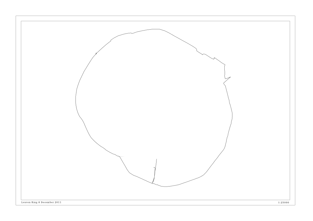
Leuven Orbital
Read more... -
Monument. Skin. Excavation (Workshop with Martin Howse at HKW Berlin)
Another great workshop with [Martin](https://www.psychogeophysics.org/wiki/doku.php?id=monument). It was part of [Trampoline’s exhibition](https://trampoline.org.uk/tracingmobility/events/event/exhibition) we are part of at the Haus der Kulturen der Welt. I was able to hook up a hard drive read …
Read more...
