Search
Archives
Tags
- arnside
- Berlin
- Broadway
- clay
- crew
- cumbria
- data
- data landscape
- DIY
- dowsing
- drawing
- drawing machine
- england
- eric joris
- eTrex
- frequency map
- Garmin
- gis
- gnuplot
- gpx
- hack
- hardware
- HP DraftPro EXL (7576A)
- logging
- martin howse
- Mathieu Baudier
- metalwork
- nature
- Nottingham
- openframeworks
- pen plotter
- plants
- plaster
- printing
- psychogeography
- psychogeophysics
- QGIS
- residency
- Spatialite
- suffolk
- uk
- visualisation
- woodwork
- workshop
- xml
Blogroll
Recent Comments
- uair01 on Gathering plants and fruit with Martin
- Peter on Using Spatialite to store and represent our GPX data
- Daniel Belasco Rogers on Why Conjuring is the opposite of Magic (and why it matters)
- uair01 on Why Conjuring is the opposite of Magic (and why it matters)
- Peter on Drawinglife, the openFrameworks GPS visualisation application, open sourced
Category Archives: GPS
What GPS / GPX visualisation software to use in Linux
OK, so you’ve chosen a GPS, based on the last post and you’ve taken a walk with it and are itching to look at what you’ve done. There are so many sites now offering advice, mostly for Windoze of course … Continue reading
What GPS to use
This is a follow up to this post ages ago outlining the technical aspects of our GPS data collection for those that might want to do something similar. What GPS? As mentioned in that earlier article, Sophia and I now … Continue reading
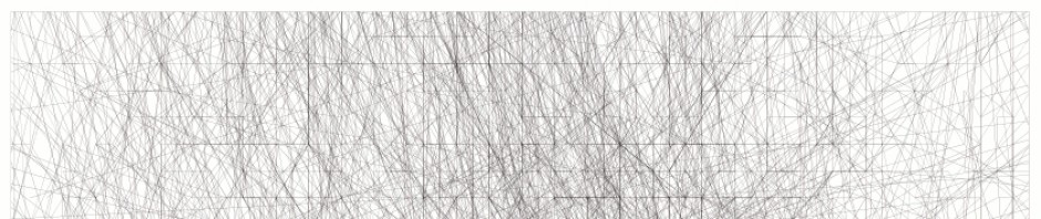
Speed Map of Berlin
I’ve been experimenting with Mathieu Baudier’s PostgreSQL / PostGIS importer for our tracks (I’ll write about this later soon) and visualising my database of tracks in QGIS. Many possibilities become available. Mathieu’s importer calculates speed for every vector in the … Continue reading
Posted in GPS, Linux, Walking
Tagged Berlin, data, logging, Mathieu Baudier, PostGIS, PostgreSQL, psychogeography, QGIS, visualisation
Comments Off on Speed Map of Berlin
More Kiel Outcomes
Ines Lindner, myself and the students at the Muthesius Kunsthochschule were very impressed by the animation we all made together, with the week’s collected traces and Peter Vasil’s openFrameworks animation he wrote for us. Here’s a quick video hacked together. … Continue reading
Posted in Diary, GPS, Linux, Walking
Tagged ines lindner, kiel, muthesius kunsthochschule, workshop
Comments Off on More Kiel Outcomes
Map and chart mashup
This is an attempt to visualise the sensor output against the gpx file.