Having just downloaded our GPSs for this period, I was playing around with looking at the GPX tracks in Qgis and something struck me.
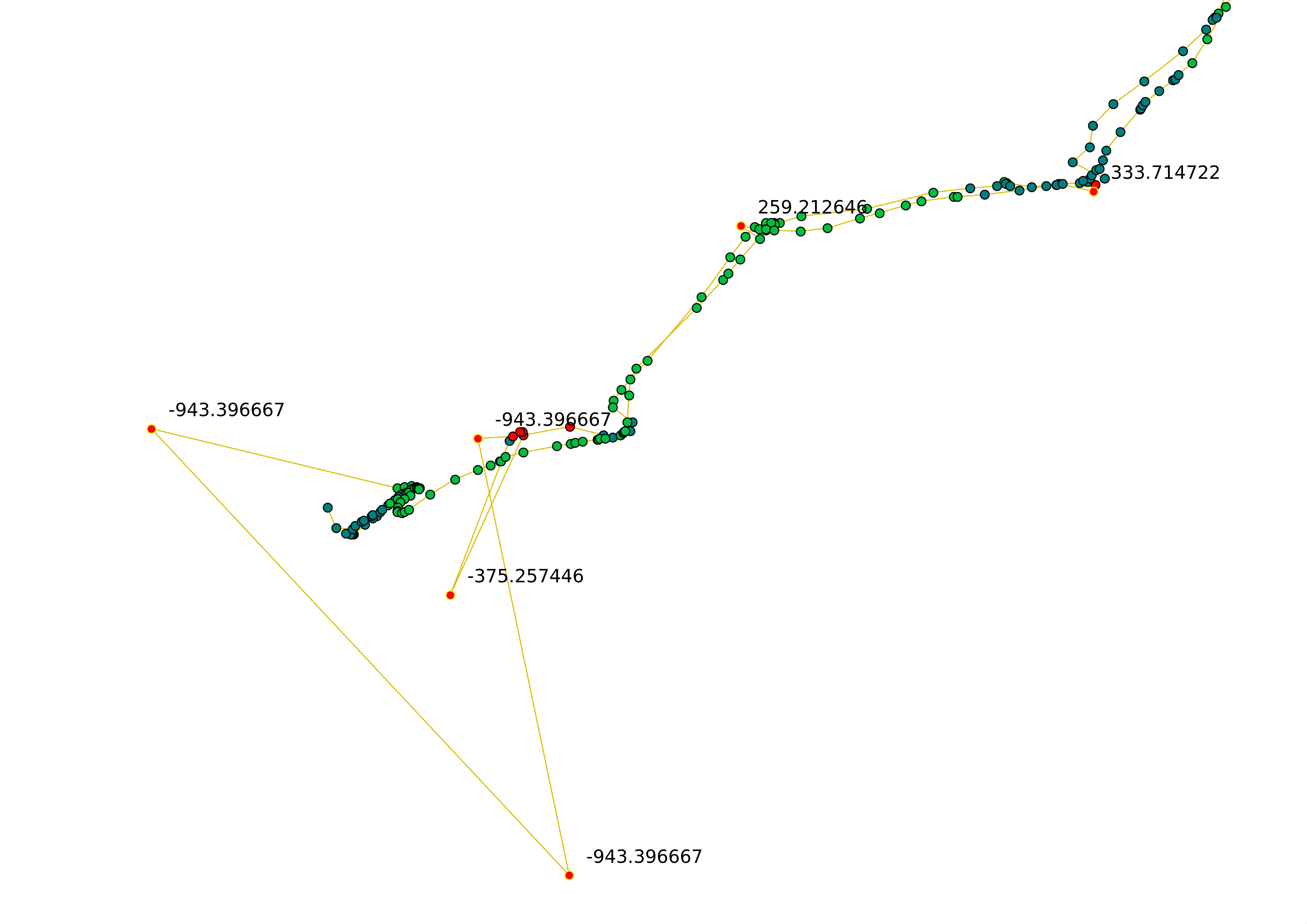
What you can see here is that some trackpoints are clearly ‘wrong’ or ‘inaccurate’ or just plain ‘ugly’ and these are the ones that Mathieu Baudier and I are working on removing from our database (and eventually for anyone else who wants a tool to ‘clean’ their GPS tracks). To do this we’ve been looking at things like speed, acceleration and azimuth variation (what angle you change direction from one point to the next). So far (I think) we’ve left out elevation because it is a pretty inaccurate reading anyway but as you can see from the picture above, it might just be very useful for identifying our ‘ugly’ trackpoints.
In the graphic above, generated by Qgis, I have coloured each track-point by elevation and selected some to display the value. You can easily see that those trackpoints that make the strange triangle at the end are all way outside the elevation value expected for Berlin. There would be problems if it really was 943 metres below sea level. Interestingly, there are a few ‘errant’ trackpoints earlier in the track which are also worth taking out if you zoom into that particular area. It seems that when you suddenly meet an elevation radically outside what is expected, the x and y values of that point are also dodgy and worth filtering out.

