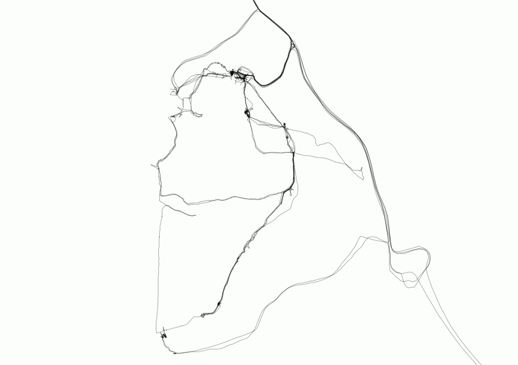
By way of saying a huge thank you to the participants of my GPS workshop at the Yorkshire Sculpture Park this weekend, I put together all the tracks we made in QGIS and produced the collective map above. Maybe I should also update the OpenStreetMap entry.
I felt very good, after a bit of a hiccough, that I finally got everyone who wanted to, able to plug in a Garmin eTrex, download tracks and perhaps edit them with GPSBabel, visualize them with GPS Visualizer and with QGIS.
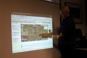
Here’s the obligatory photo of me pointing at a projected image of some GPS traces, taken by the fabulous Hannah Nicklin, the only photographic documenter of the weekend I think. More of her photos here.


